 Download
Discover all the essential subway and railroad maps of Chicago conveniently compiled into one easy-to-use application. Whether you're a local Chicagoan or a visiting tourist, this app is designed to enhance your travel experience with offline access to the following transit networks:
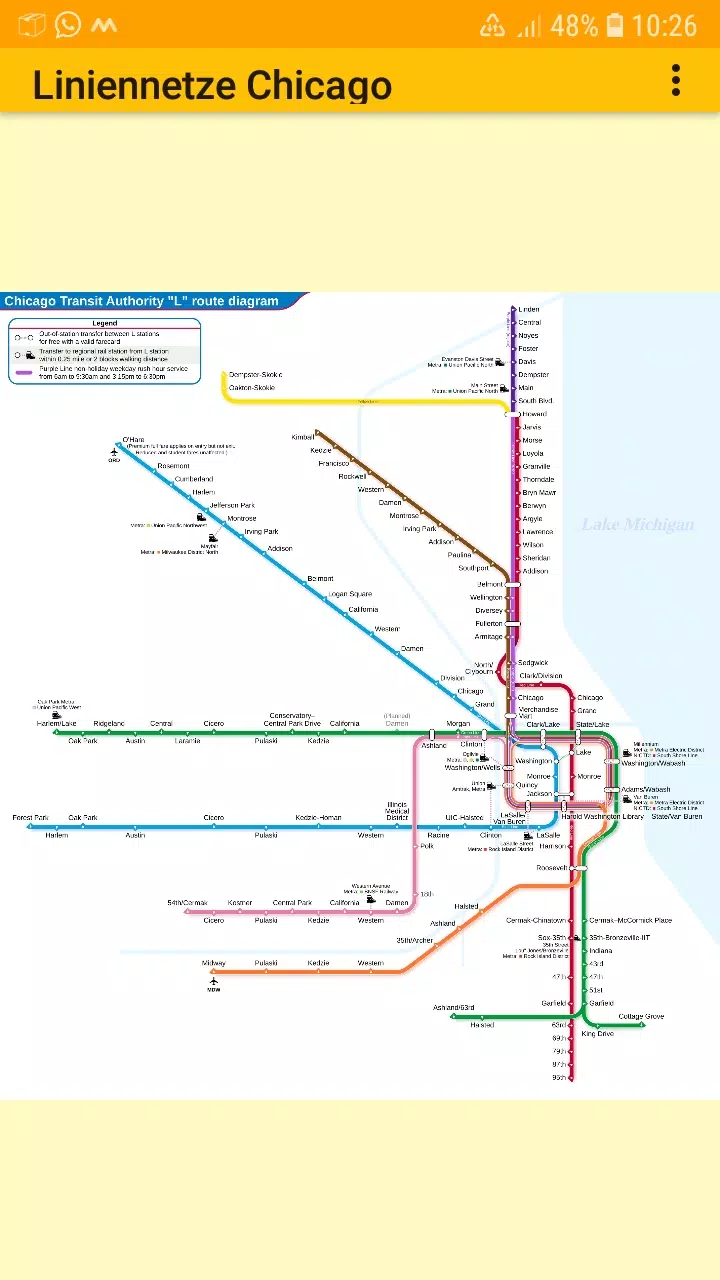
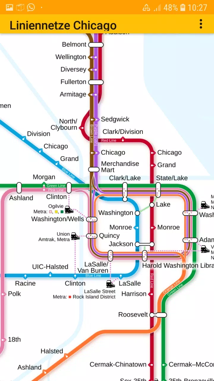
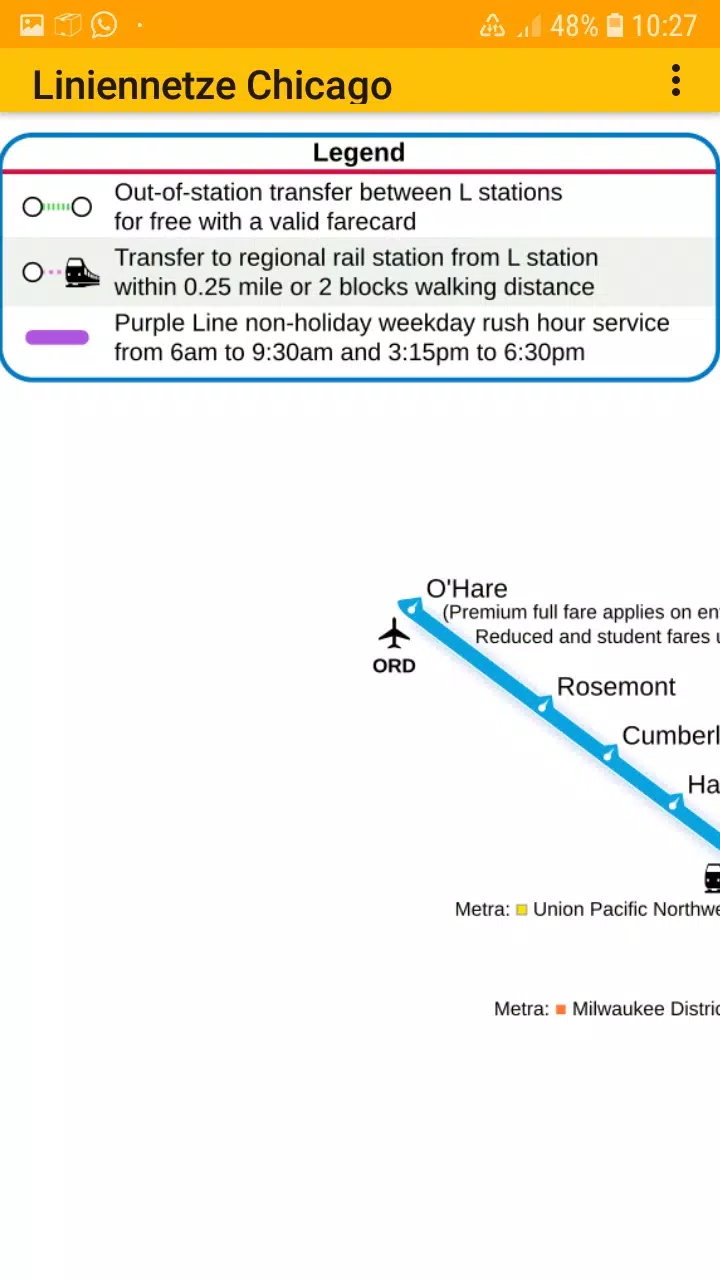
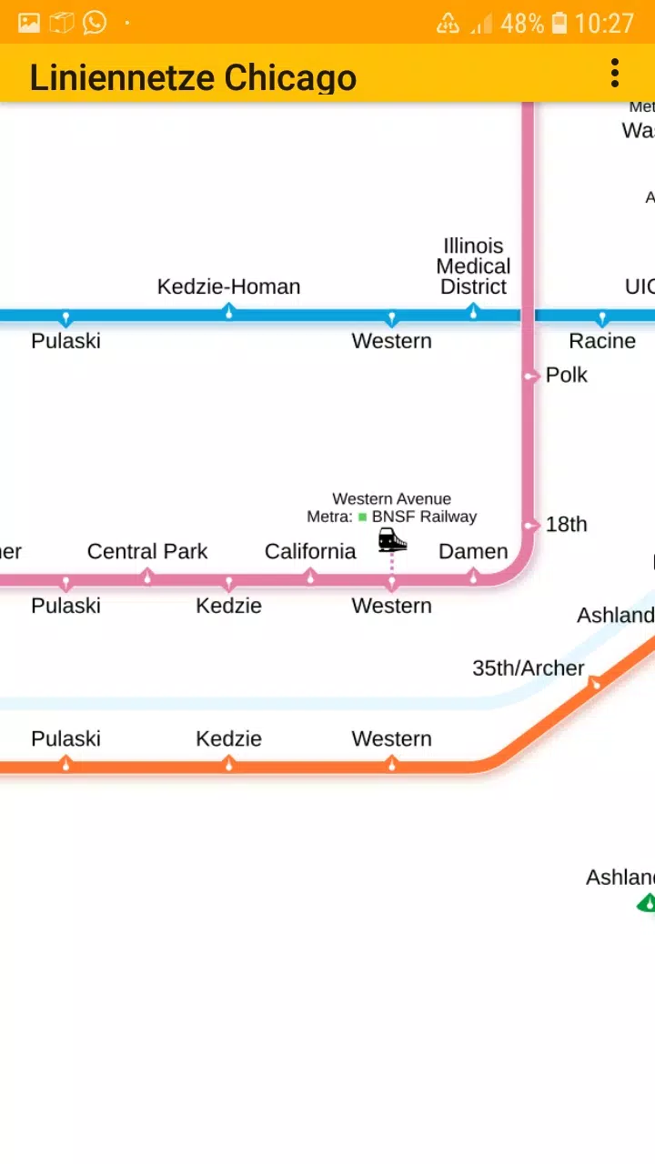
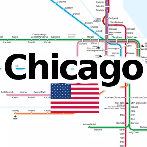
- Chicago elevated "L" rapid transit system
This app offers a user-friendly interface, allowing you to effortlessly zoom in and out of the maps, making it perfect for navigating the city's transit system. Available for both smartphones and tablets, you can enjoy seamless offline usage without any additional downloads.
The application features multiple tabs, each dedicated to different types of transit maps, including the metro line network, also known as the underground, rail transit map, urban tube map, or public subway. Whether you're planning your route or exploring the city, these maps are here to assist you every step of the way.
We value your input! Feel free to share your suggestions for improvements, ideas, wishes, or simply your feedback via email or through our contact form at dieEinsteiger Contact Page.
Notices:
- Compatible with devices running Android 4.4 (KitKat, API 19) to Android 13.0 (API 33).
- Please note that the accuracy and completeness of the app's content are not guaranteed.
- The maps embedded in this app are subject to the Creative Commons license (CC BY-SA 4.0) and were created by Chinese Wikipedia user Sameboat, the copyright holder.
Enjoy exploring Chicago with ease using our app, available now on the Google Play Store. Brought to you by dieEinsteiger.
What's New in Version 1.3
Last updated on Oct 20, 2024
v1.3 (06-08-2024)
- Update to Android API 35
Connect with us on Facebook or visit our homepage for more information.